The Municipality of San Ginesio organizes mountain bike excursions, also with pedal assistance. Find out about the events scheduled in the coming months
"Nothing compares to the simple pleasure of a bike ride"
SanGinesio Outdoor 2024
For information and reservations:
teoprojectsport@gmail.com
Ass.ne Teo Project Sport
Referrer: Matteo Petetta 347 791 5440
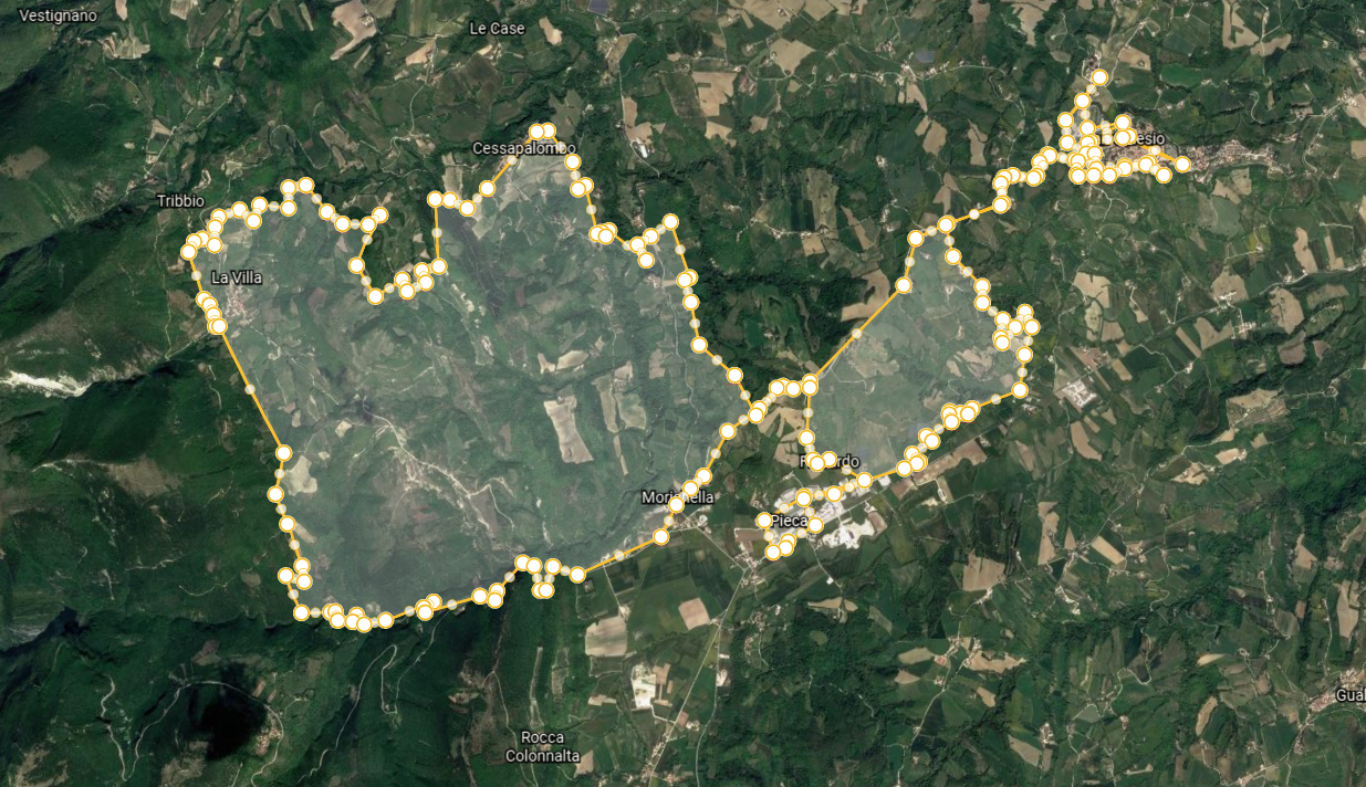
1. Montalto
Level: Half / Difficult
Length: 45 km
time: 5h
Difference in altitude: > 1000 m
Description: Path immersed in the territory of the Sibillini National Park of naturalistic and historical interest. Compact Bottom, crossing rivers. There are steep climbs that can be easily overcome with a minimum of training. Visit medieval villages, this refreshment point.
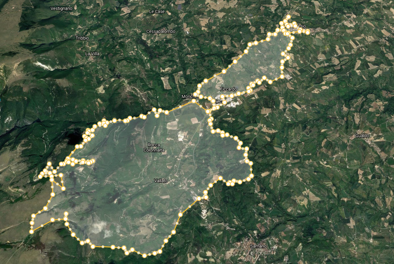
2. Meadows of Ragnolo
Level: Half / Difficult
Length: 40 km
time: 5h
Difference in altitude: > 1000 m
Description: Challenging path of naturalistic and landscape interest, immersed in the territory of the Monti Sibillini National Park.
The trail is well maintained; compact bottom! There is a downhill stretch with natural and artificial jumps. Very scenic route, this refreshment point
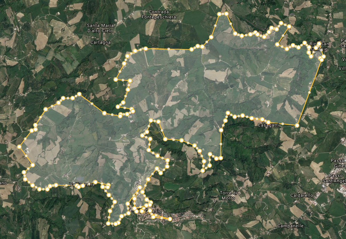
3. Entogge
Level: Easy / Half
Length: 40 km
time: 4,5 h
Difference in altitude: < 1000 m
Description: Non-binding route immersed in the countryside of San Ginesio, compact bottom. The route leads to the beautiful natural waterfalls of “Entogge”. E’ there is a refreshment point.
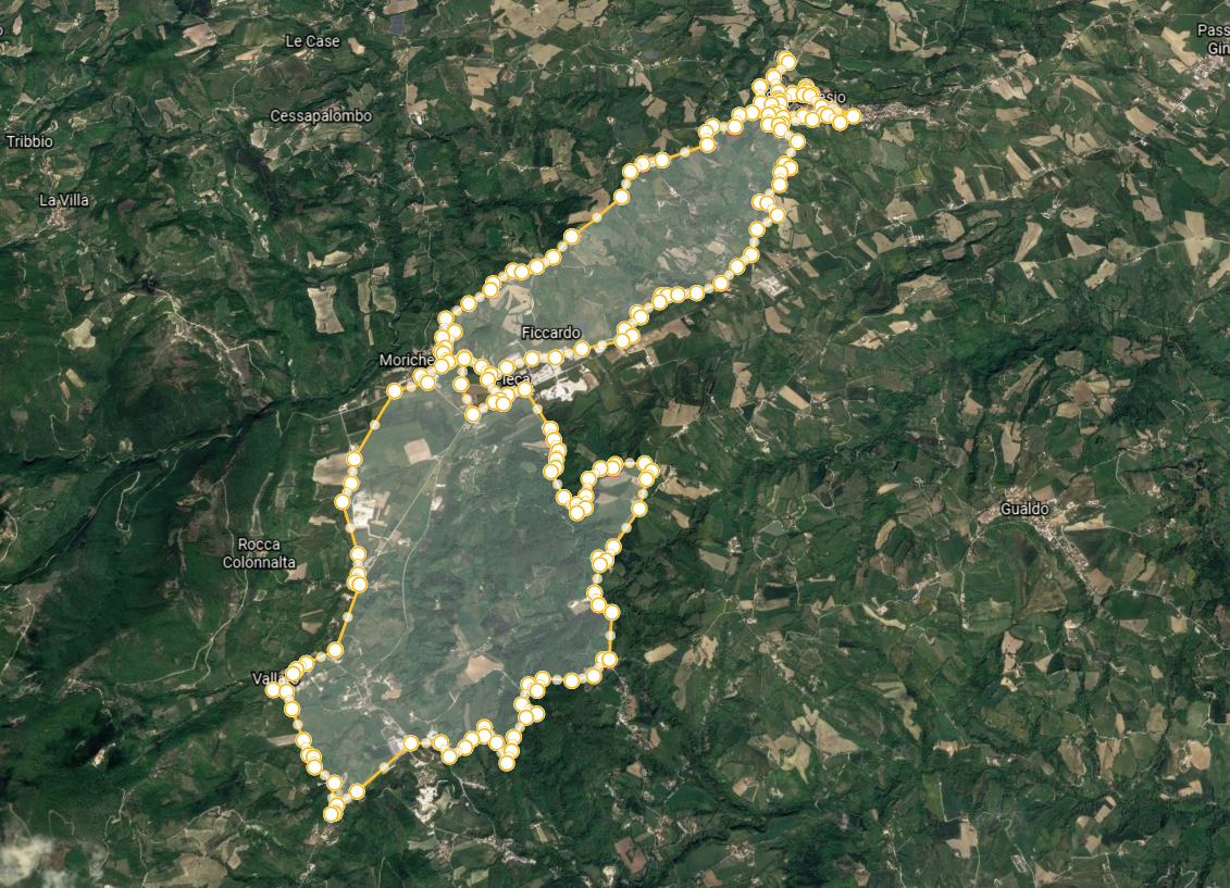
4. Vallato
Level: Easy / Half
Length: 42 km
time: 4,5 h
Difference in altitude: < 1000 m
Description: Path immersed in the Sibillini National Park, compact bottom. Path with different types of terrain, there is a refreshment point.

